Difficulty
Easy
Duration
13 Days
Activity
Trekking
Destination
Nepal
Max Altitude
7,525m
Trip Starts
Kathmandu
Trip Ends
Kathmandu
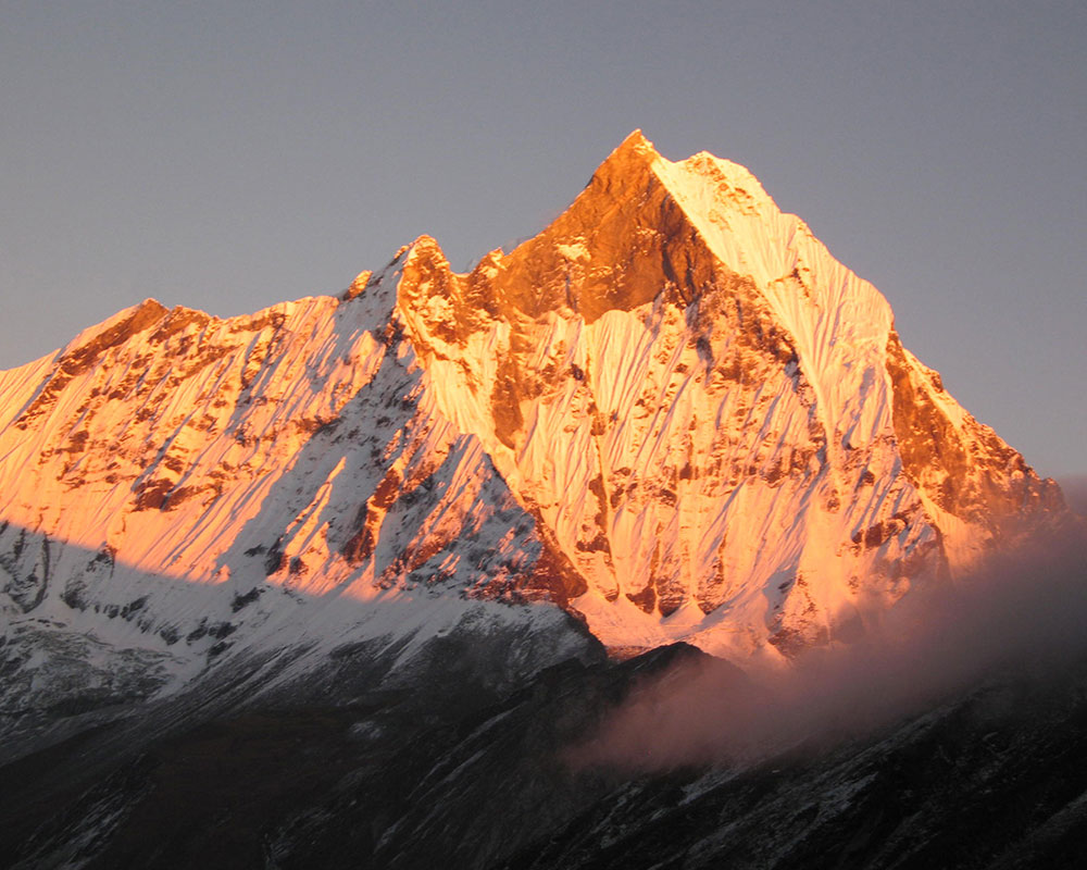
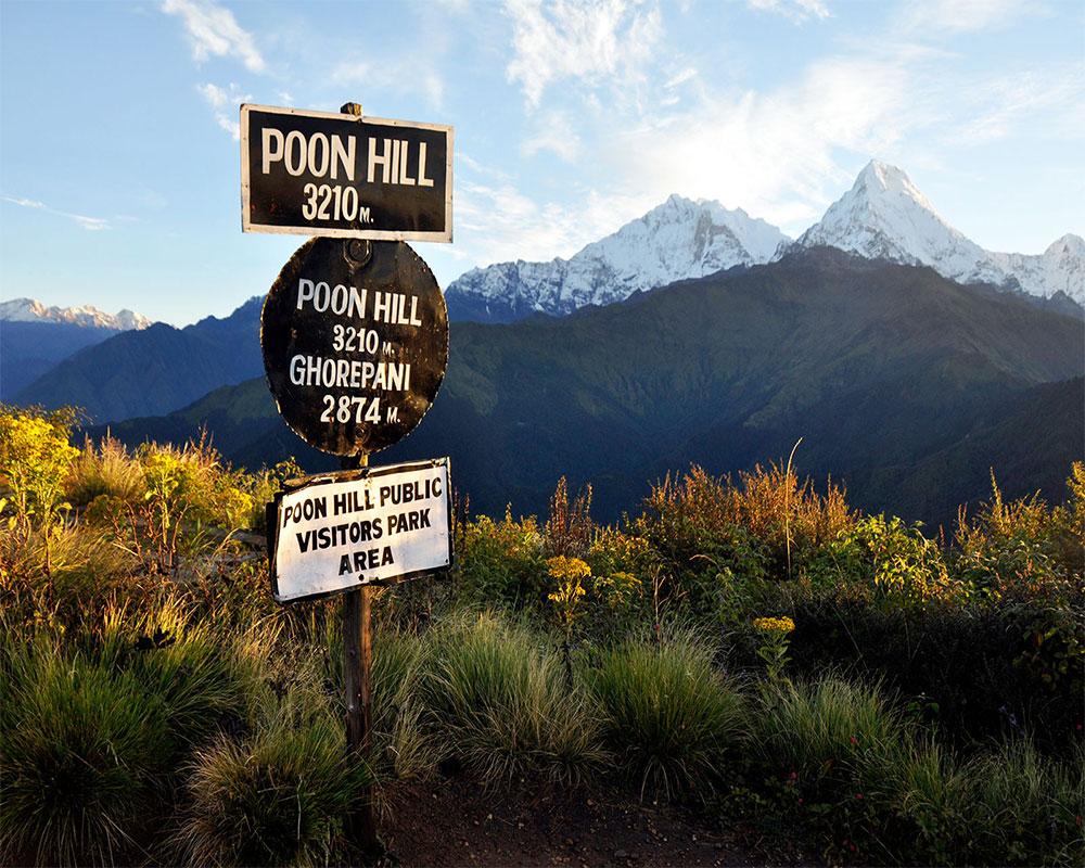
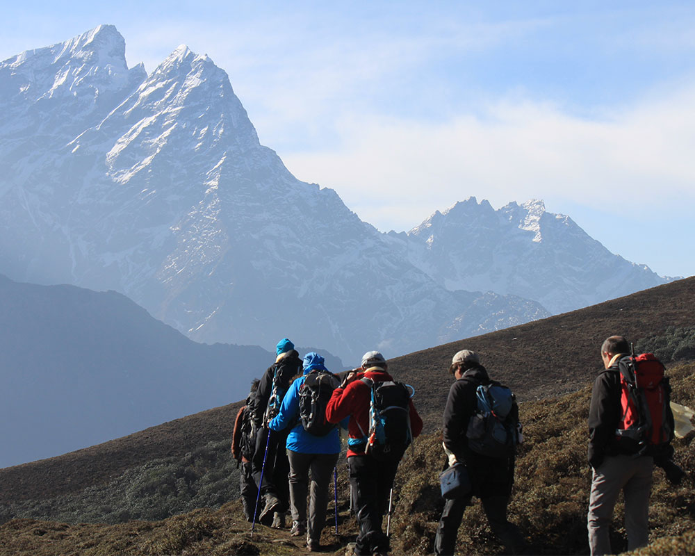
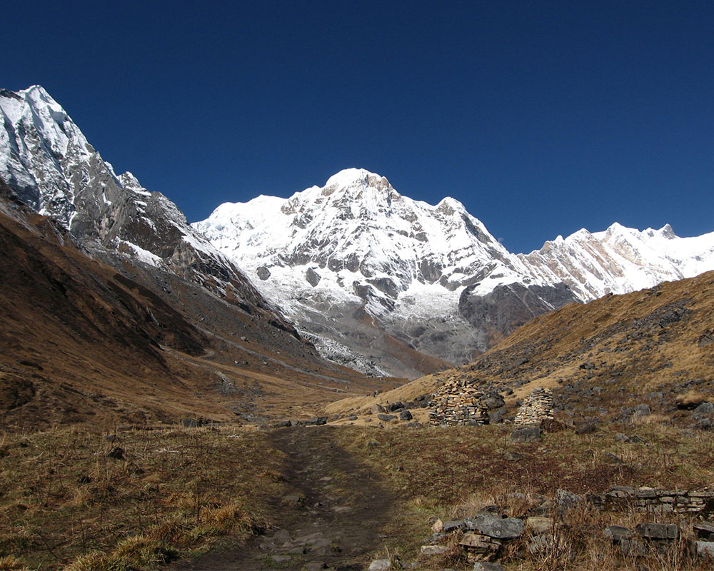
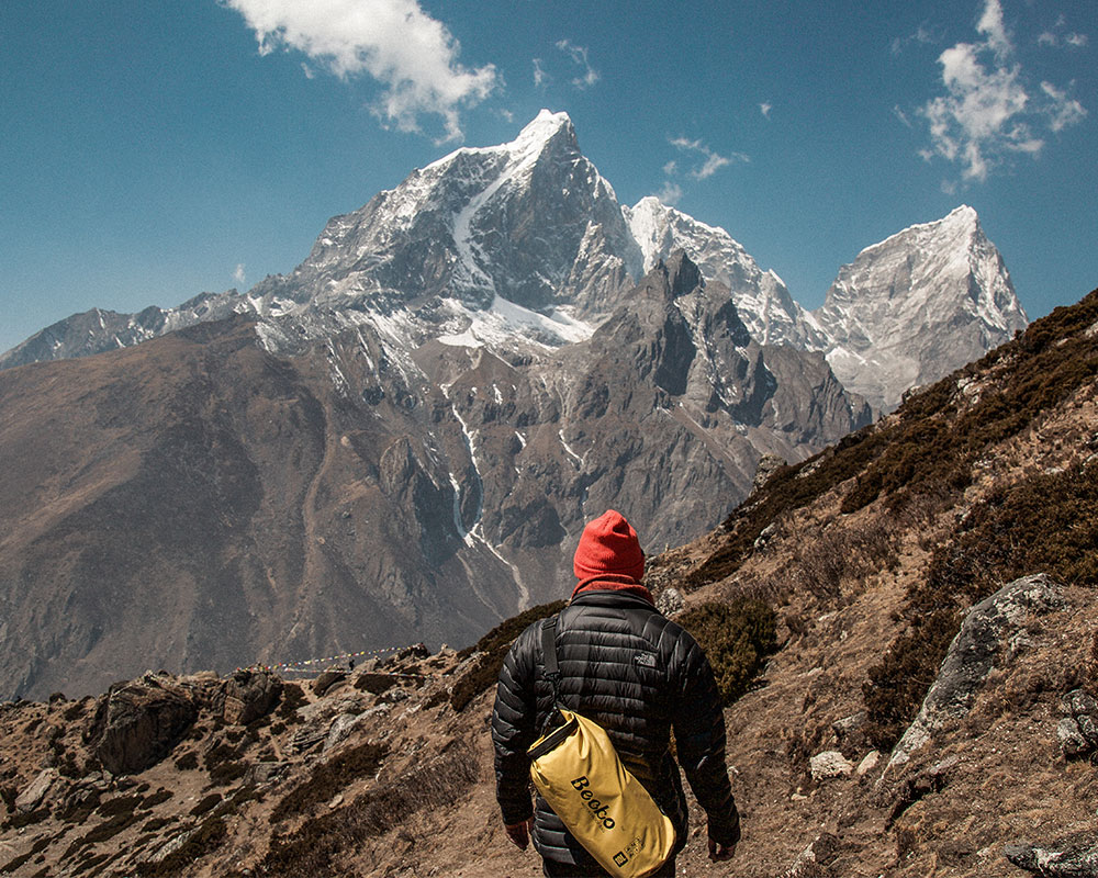
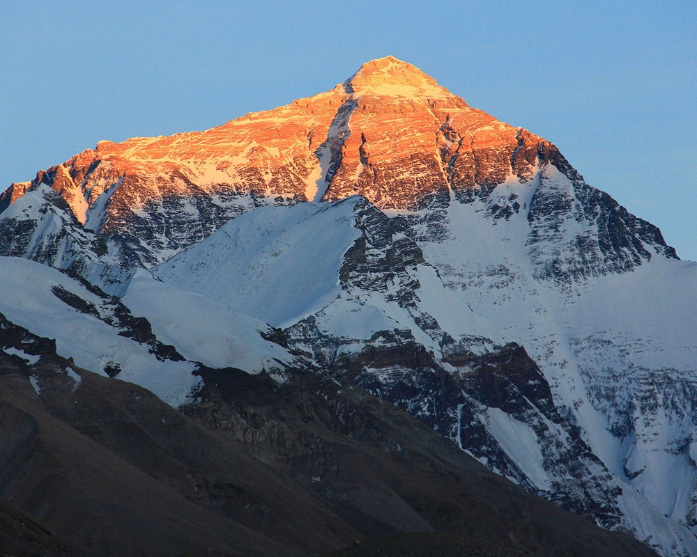
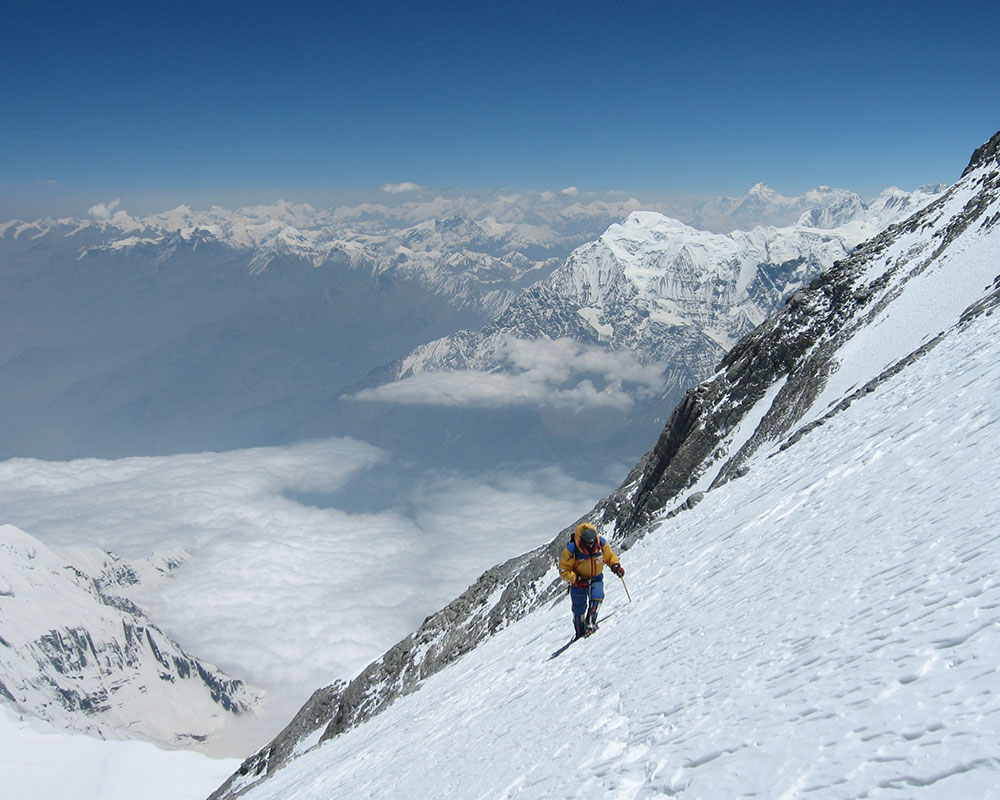
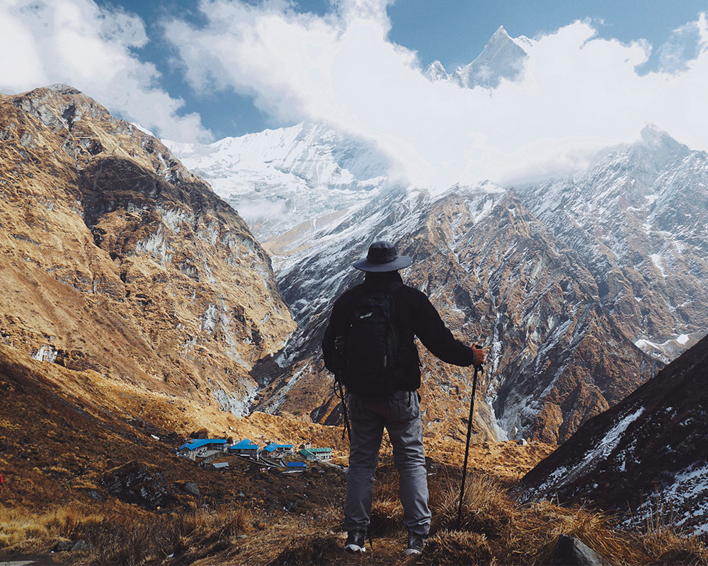
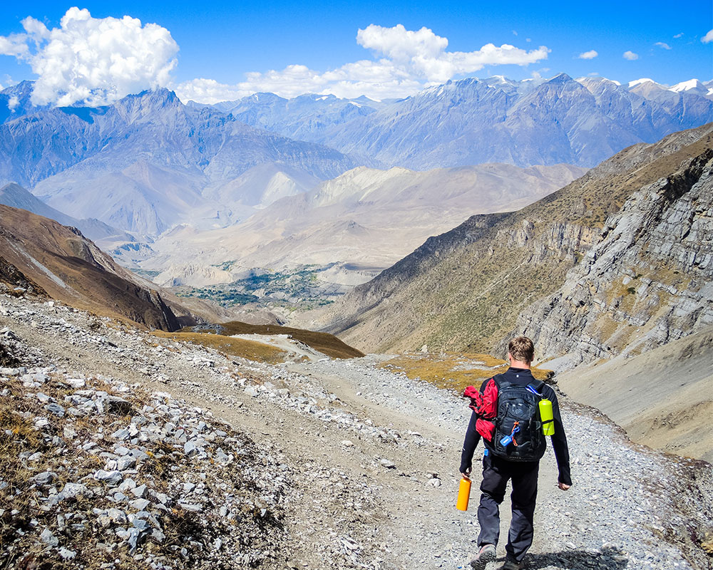
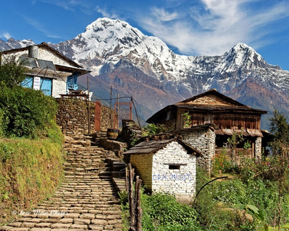
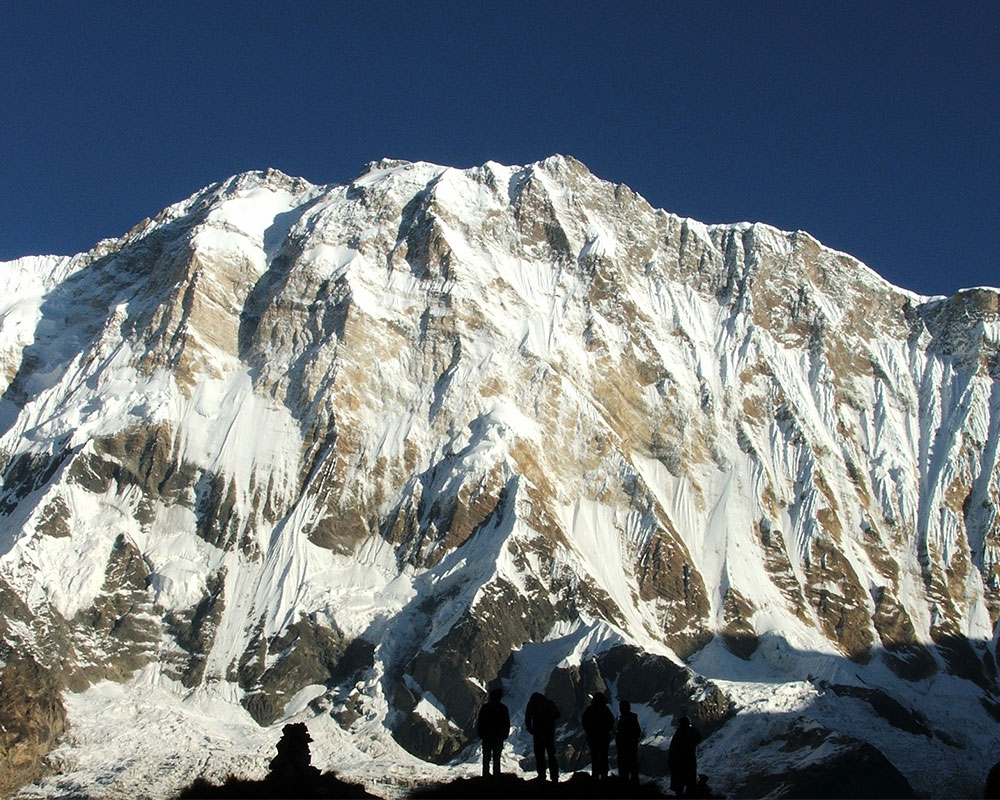
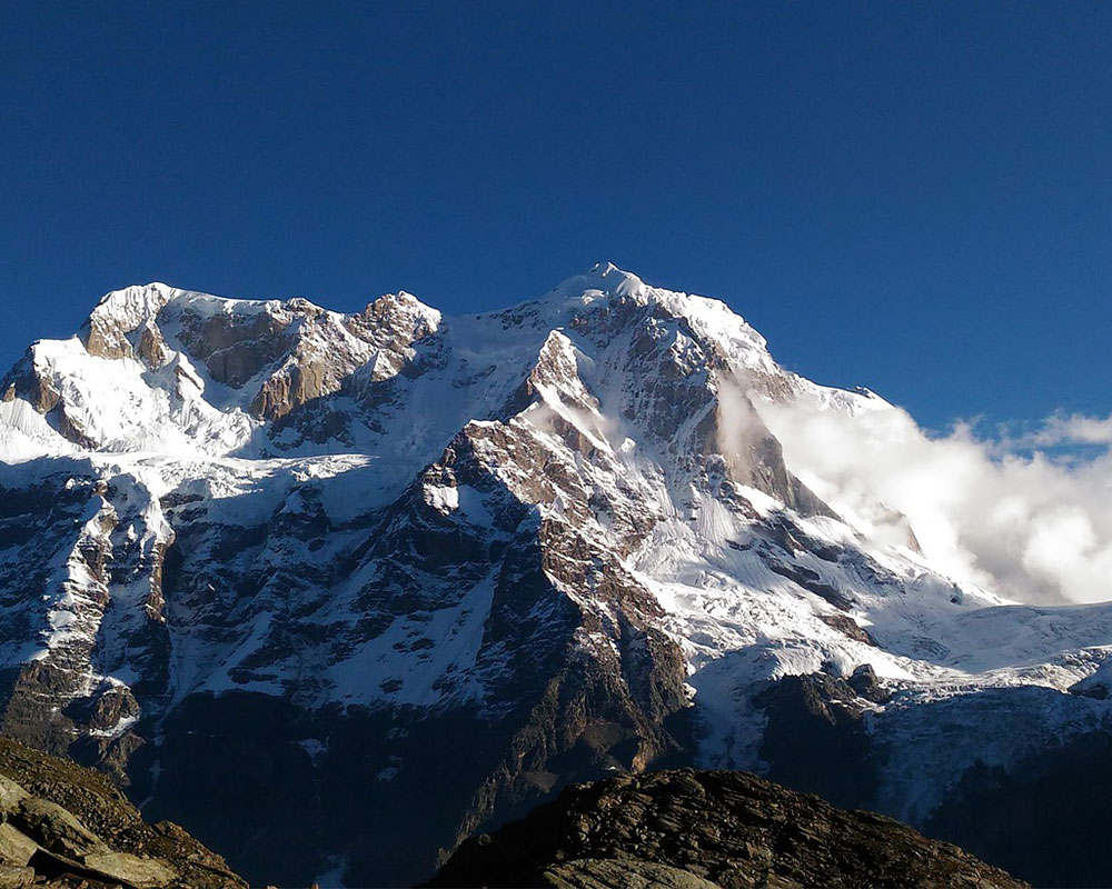
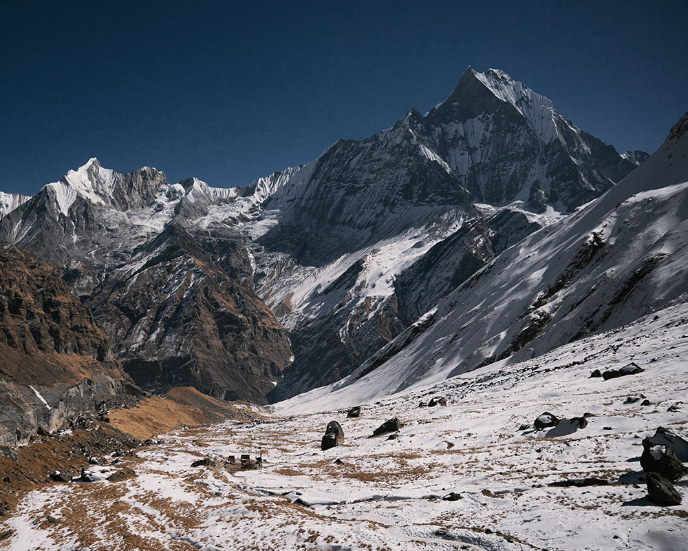
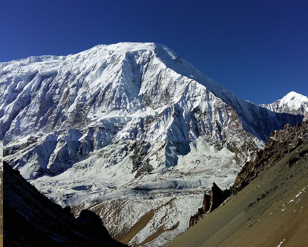
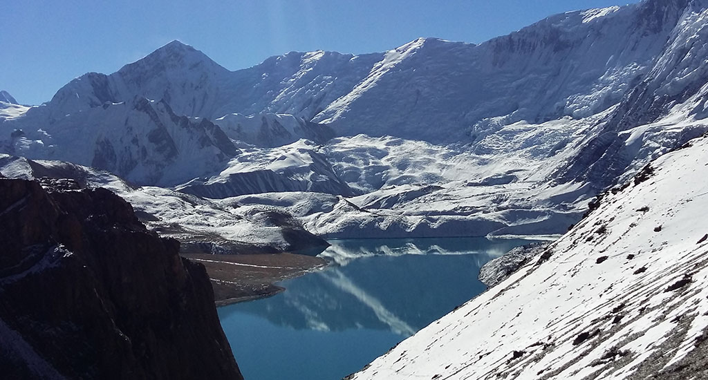
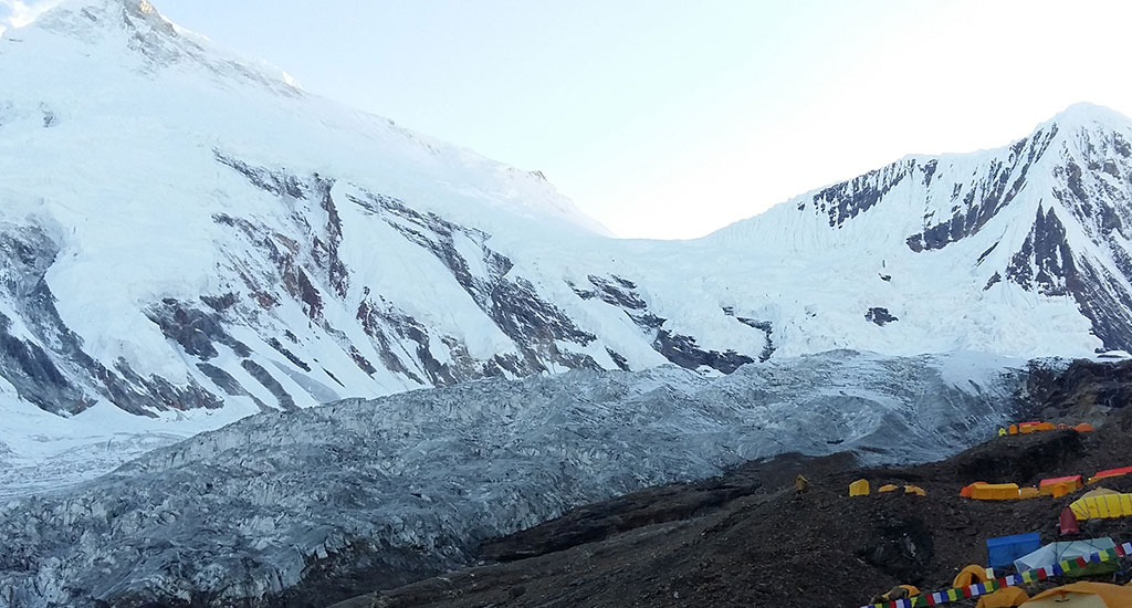
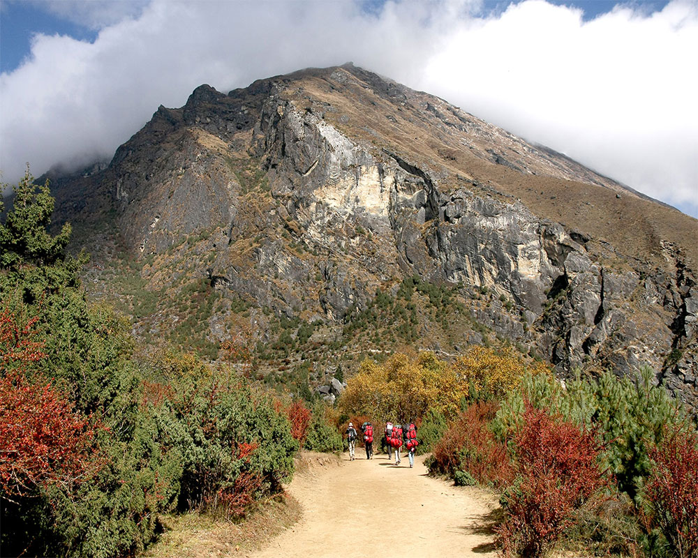
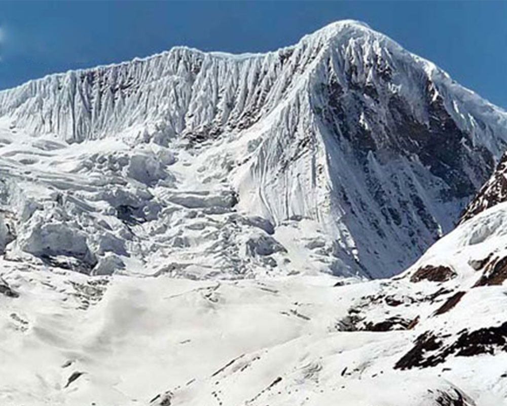
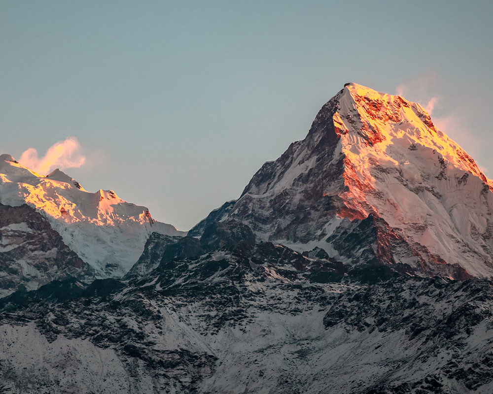
Manaslu base camp trek is one of the demanding and sought after trekking ventures in the heart of Manaslu region. Opened since 1992, the trek captures a perfect composure of natural splendor, cultural vividness and geographical diversity that can easily delight anyone with an immense thirst for an all-embracing travel. Destined to conquer the base camp of Mt. Manaslu, the world’s eighth mightiest mountain, the trek is essentially adventurous and requires adequate physical aptness and technical know-how of alpine setting.
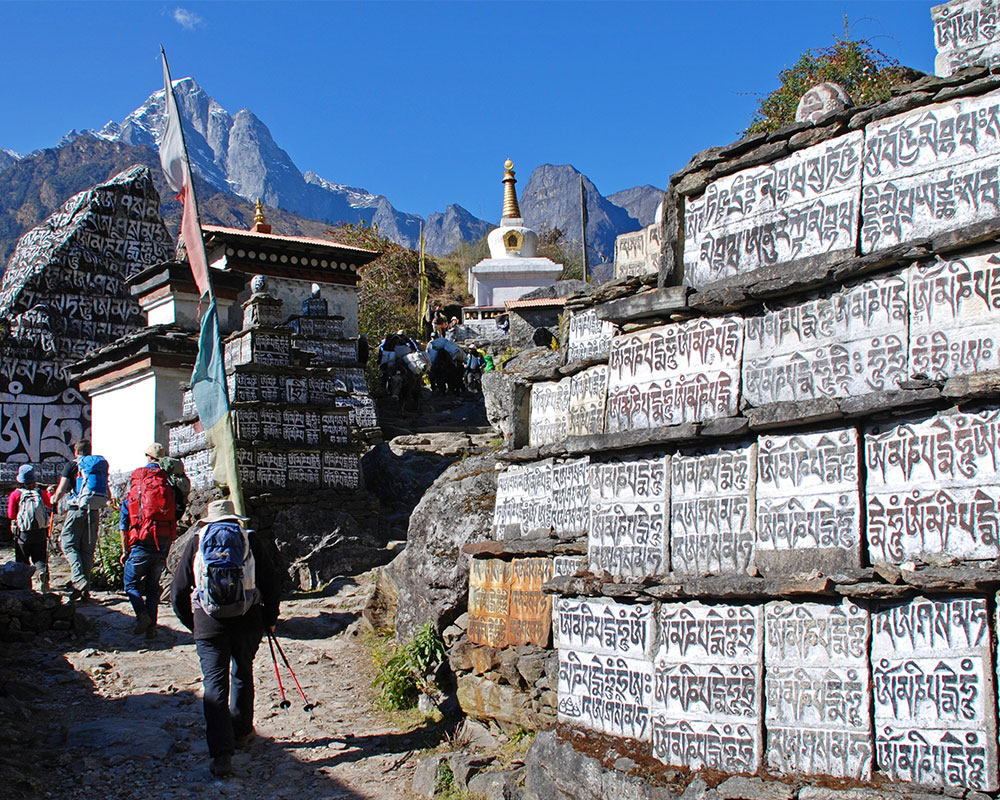
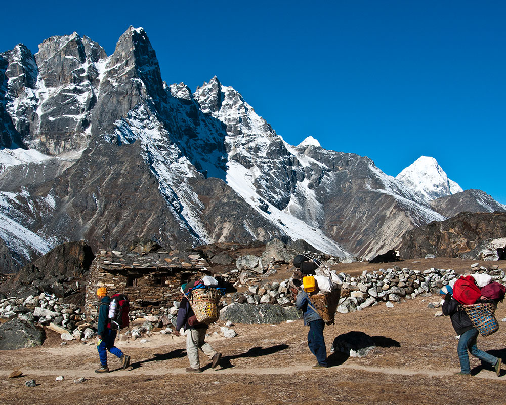
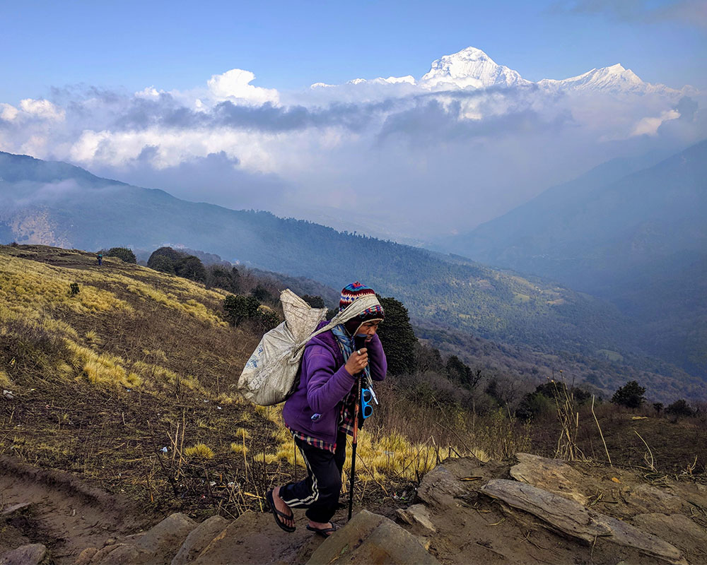
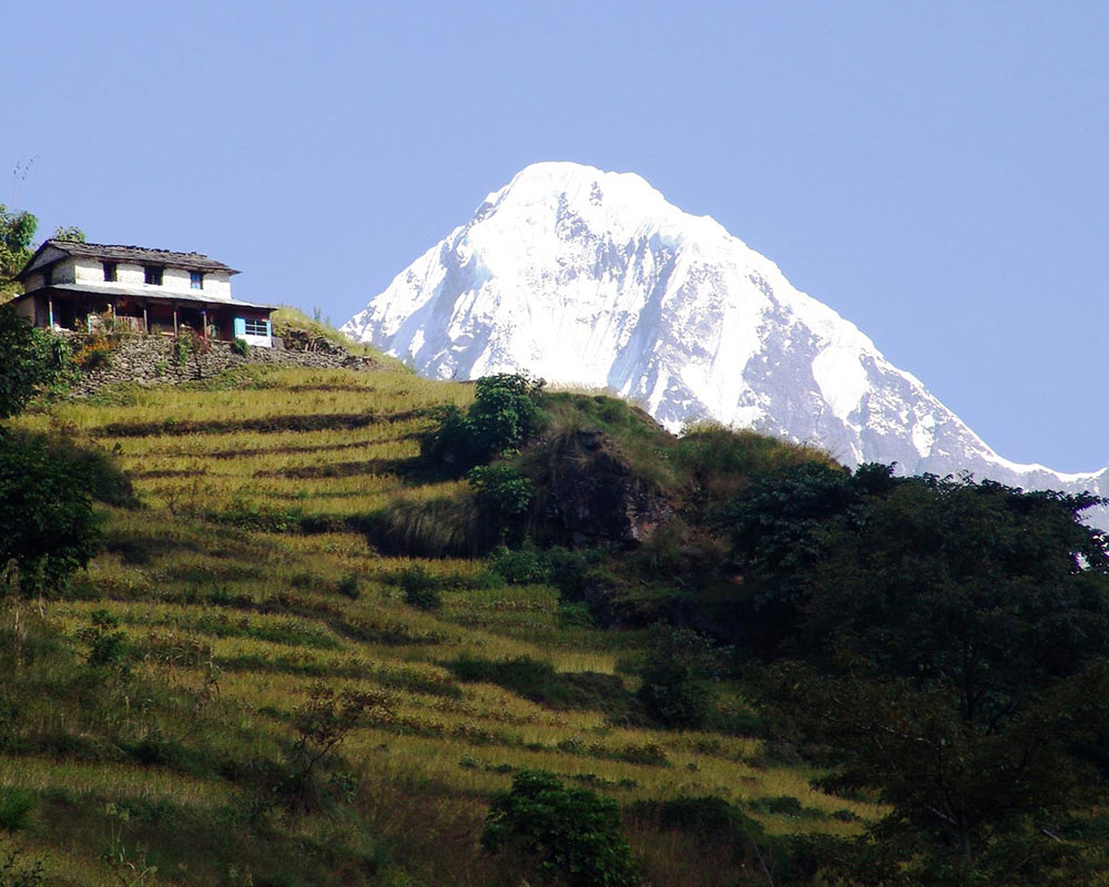
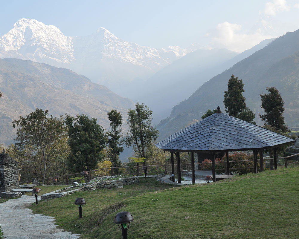
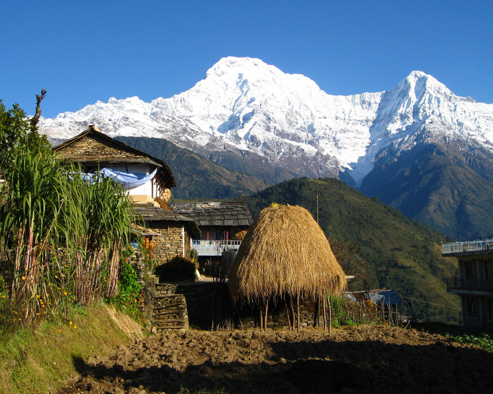
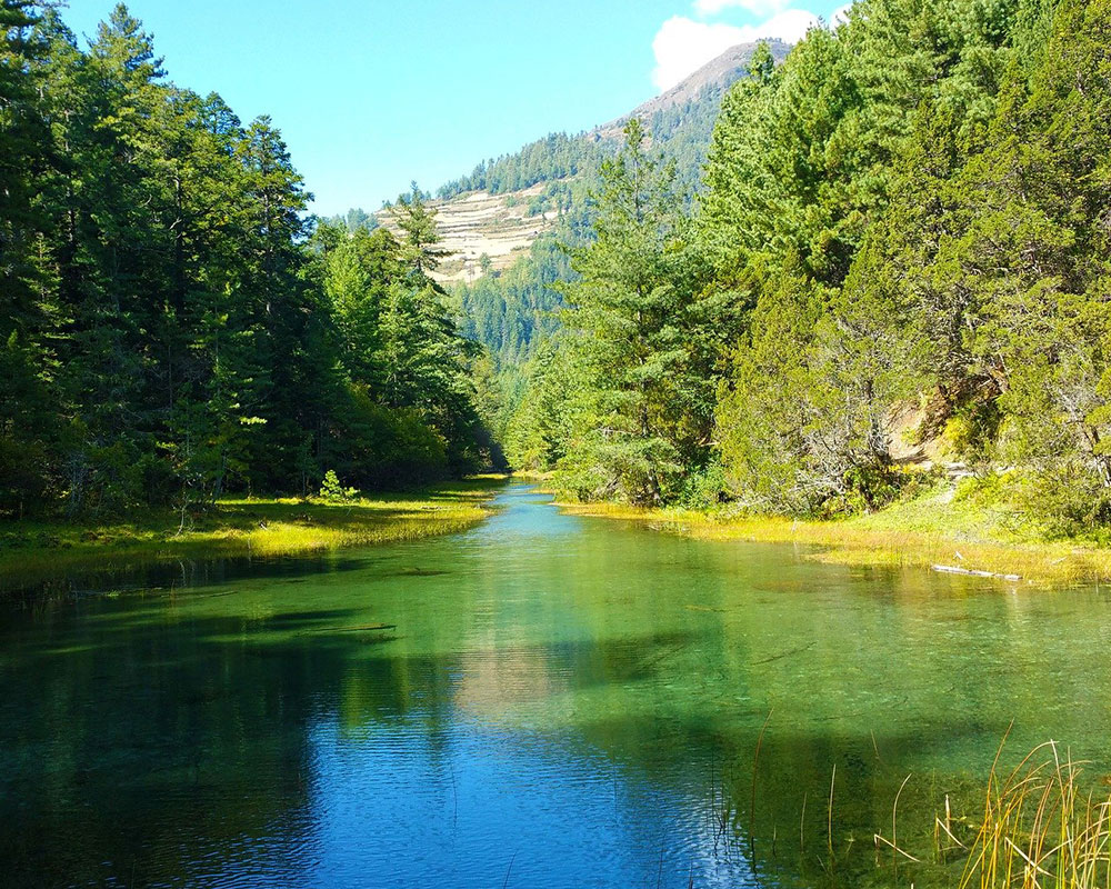
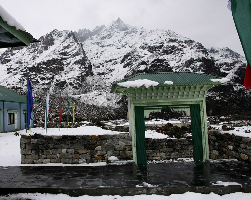
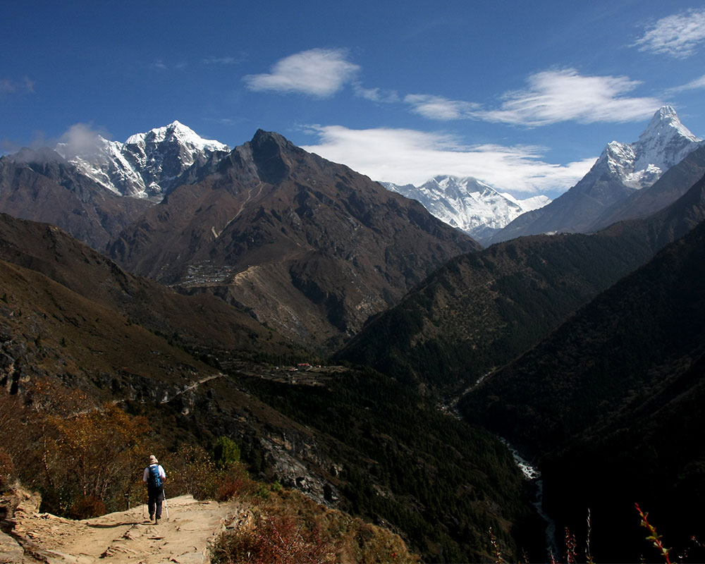
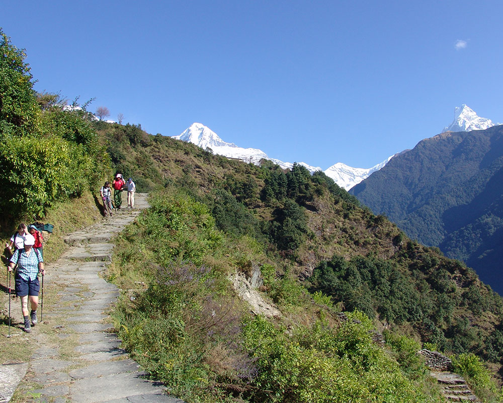
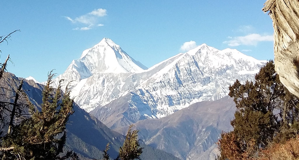
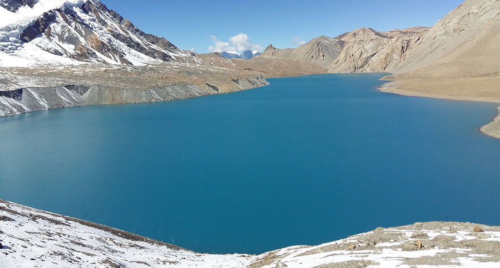
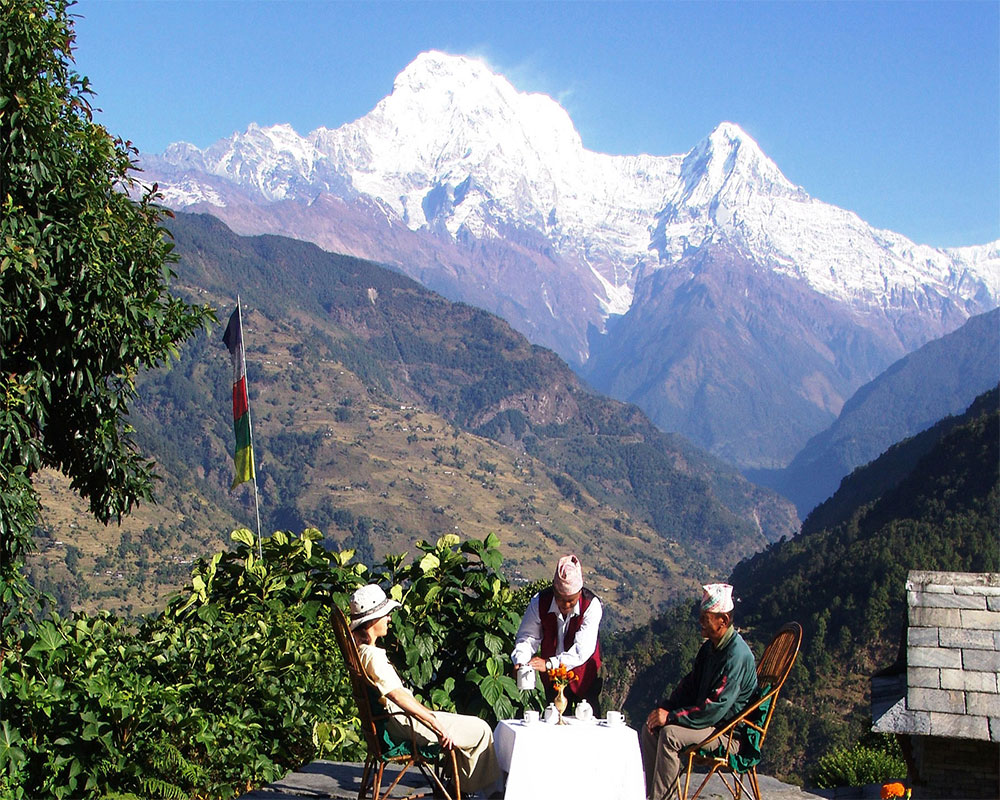
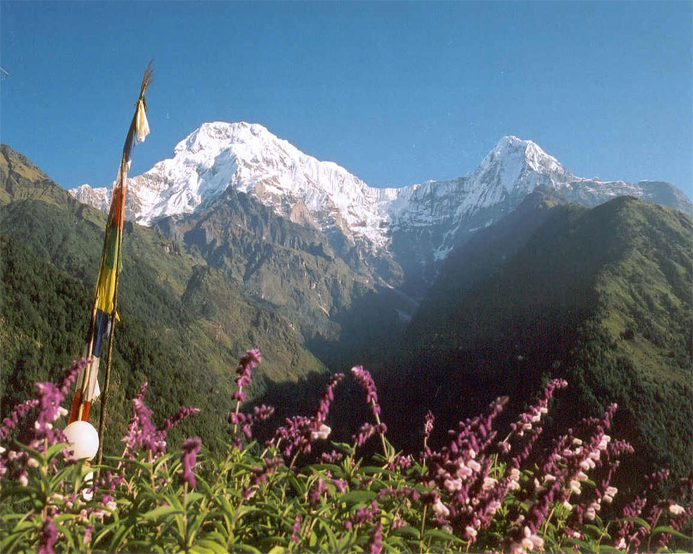
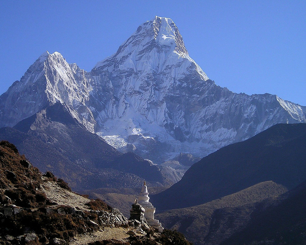
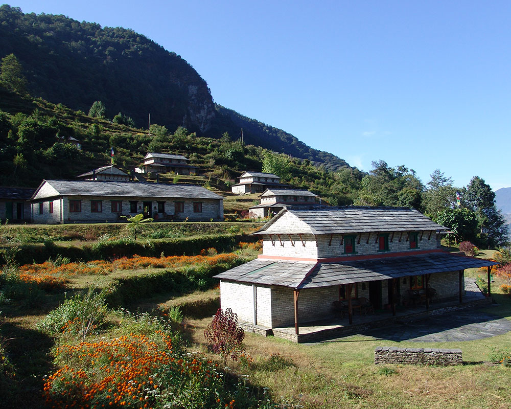
Kicking off from gorgeous parish of Arughat (Gorkha), the trek offers visitors with impressive panorama elemental of stunning landscapes, cascading waterfalls, aquamarine lakes, lush pine forests, emerald vegetation, and striking views of mountains, that include Himchuli, Ganesh, Manaslu, and Peak 29, on the way. The region being uninfluenced by the contemporary world, you will have an awesome opportunity to explore the unspoiled and primitive culture of the local people that is simply enticing. The people of the region display the ethnical influence of Tibetan culture and are mainly Sherpa and Gurung. The region is also endearing for it holds tremendous variety of wildlife and flora. The age old monasteries on the way depict the Buddhism as the religious affiliation of the region.
We drive along the Kathmandu-Pokhara Highway for the first part of the day; we then head towards the hill bazaar of Gorkha. The road gets a bit rough after Gorkha. We will reach our destination, Arughat Bazaar, after seven hours from Kathmandu.
On our first day on the trail we head north, following the Buri Gandaki. In the low country rice paddies and picturesque hamlets surround us. After climbing briefly to Kyoropani, we descend once again to the river and at the confluence with the tributary of Sundi Khola. It is a nice first day not too long, and perhaps we have time for a refreshing swim sometime during the day for it is hot in the low country.
Overnight at Local Lodge.
Meals: Breakfast, Lunch and Dinner.
The country changes, the broad valley narrows and at times the trail is cut into the steep valley side, which is densely forested. We pass a number of small villages, tucked into the hillside, until we reach a widening of the valley, opposite the point where a large tributary stream enters the Buri Gandaki. The terraced farmland here belon gs to the village of Lapbesi. We descend once again to the wide, sandy riverbed and follow a path, which runs below the steep, craggy valley side. At length, we have to climb up once again on a trail to Machha Khola, which has a number of teashops.
Overnight at Local Lodge.
Meals: Breakfast, Lunch and Dinner.
We cross the Machha Khola - Fish Stream - and head upstream to the tiny village of Khola Bensi and the hot springs at Tatopani. The valley sides remain steep until they are impassable and the route then switches to the left bank by way of a suspension bridge. The trail is quite exposed and challenging in places. After a short section of forest path we reach the single teahouse at Doban. Above Doban, the Buri Gandaki descends an impressive series of rapids. Beyond this steep section, the river is much more placid, meandering across a broad gravel bed. At Lauri, we will cross the river on a suspension bridge, and then climb on a high path to the fields of Jagat.
Overnight at Local Lodge.
Meals: Breakfast, Lunch and Dinner.
After descending a long series of stone steps to the river, we climb a terraced hill to Saguleri, from where we can see the impressive Sringi Himal (7187m). The path splits, with the right-hand branch heading off towards the Ganesh Himal while crossing the river at Gata Khola. Our route continues upstream, through a gorge with towering walls. We cross the river thrice in the next two hours to avoid difficult valley sides and then climb up over a further steep spur to reach the village of Deng.
Overnight at Local Lodge.
Meals: Breakfast, Lunch and Dinner.
The higher altitude takes us into alpine territory and increasing mountain views. There are more Mani walls and 3 more crossing of the Buri Gandaki on our route to Namrung, where our special permit is checked. Above this village the valley opens out and there are extensive pastures. Climbing gently now, and crossing a large stream flowing down from the Lidanda Glaciers, we reach the Tibetan village of Sho, 3000m. We will get our first incredible views of the Manaslu North and then of Manaslu main ahead from Sho..
Overnight at Local Lodge.
Meals: Breakfast, Lunch and Dinner.
Leaving the village, we follow the right bank of the river, with views of Peak 29 ahead. As we continue on the main trail, we soon reach the fields of Sama Gaon, 3500m. We reach Sama Gompa, 20 minutes beyond the village and Samdo, near the Tibetan border.
Overnight at Local Lodge.
Meals: Breakfast, Lunch and Dinner.
We have a rest day in Sama Gaon for becoming accustomed with the environment. Today you can explore the village and Gombas. On the other hand, you can hike towards Manalsu Base Camp where we'll have eye-catching views of the lake, glacier and valley. A different option is a hike up to Pung Gyen Gompa, at 3870 meters and witness unique natural beauty.
Overnight at Local Lodge.
Meals: Breakfast, Lunch and Dinner.
We leave behind Sama Gaon through the long Mani walls and Chorten at Kermo Kharka then move down to the Budi Gandaki and explore old herding settlement of Samdo inhabitants, Tibetan. This is trading point of China and India in long time ago. You will be seeing people herding their yaks, sheep and goats, training their horses and planting barley.
Overnight at Local Lodge.
Meals: Breakfast, Lunch and Dinner.
From Samdo, the trail leads us to the old trade route towards Tibet. We cross a bridge, and go up through the trade markets of Larkya bazaar. After about three hours of hiking passing through glaciers, with more and more awesome vista, we come to the campsite at Dharamsala, the high camp for the Larkya La pass which is surrounded by magnificent mountains panorama and blue sheep territory, grazing nearby on the infertile hill-sides.
Overnight at Local Lodge.
Meals: Breakfast, Lunch and Dinner.
We begin our track which goes to north side of the Larkya Glaciers where we have sights of Cho Danda and then of Larkya Peak. Then walking about approximately four hours we will get on the top of the Larkya La (4930m), view of superb mountains; Himlung Himal (7126ms), Cheo Himal (6820m), Gyagi Kung, Kang Kuru (6981m) and the Annapurna II (7937m). The fall is vertical, through moraines, towards Bhimphedi. We move down smooth track following the glacial moraine finally to the Bimphedi.
Overnight at Local Lodge.
Meals: Breakfast, Lunch and Dinner.
Early in the morning after breakfast we start our trek downhill the village of Gho by passing through the rhododendron forests,and cultivating farm. Then from Gho we trek north bank of the river and trek to Tilje. Having few hour rests in Tilje we continue walk by crossing the wooden bridge of Dudh Khola we finally reach at Dharapani.
Overnight at Local Lodge.
Meals: Breakfast, Lunch and Dinner.
Today we will have short walk to the BesiSahar. The trail moves through the terrace fields and many beautiful villages like - Bhulbhule, Khudi, etc. we walk by the side of the river bank of Marsyandi. From here the road is dusty and busy and following this road we end our trek to Besi Sahar.
Overnight at Local Lodge.
Meals: Breakfast, Lunch and Dinner.
After early breakfast a scenic drive leads towards the Kathmandu along the bank of the Marsyangdi and Trishuli rivers with superb views of green hills, mountains, farming terraces and villages on both sides of road. Upon reaching at the Kathmandu we will be transfer to the hotel.
Meals: Breakfast and Lunch.
Trekking
Trekking
Trekking
Trekking
Trekking
Duration
16 Days
Altitude
3,864m
Difficulty
Easy
Trekking
Duration
11 Days
Altitude
2,012m
Difficulty
Easy
Trekking
Duration
13 Days
Altitude
4,130m
Difficulty
Easy
Website by Curves n’ Colors